Made Map
The Man Behind the Map
Meet the New York-based cartographer who charts your favorite A-Basin runs.
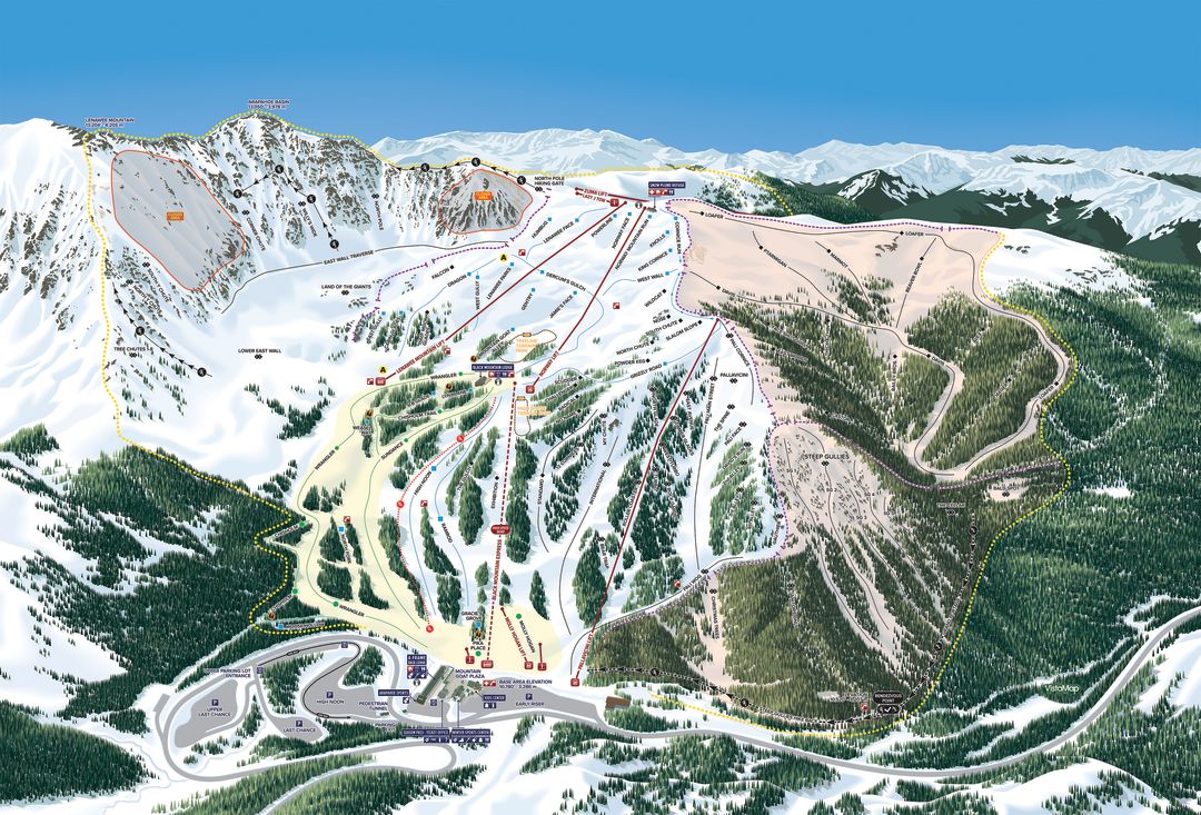
A made-in-New York rendering of A-Basin's new terrain.
When Arapahoe Basin opens its new inbounds terrain in the Beavers and Steep Gullies this winter, guests unfamiliar with the expansion will peruse a map designed not by one of the Basin’s longtime employees or by one of the countless local diehards who know the terrain like the inside of their home. No, the map they will rely upon to guide them through the fluffy bowls, glades, and rocky couloirs was created by a former house painter in Kingston, New York, named Gary Milliken.
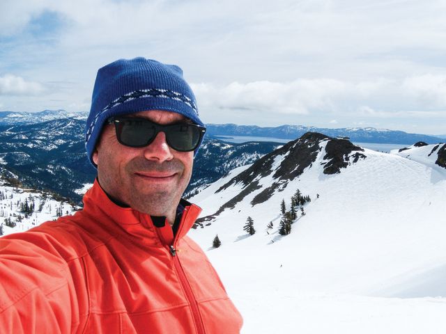
VistaMap's Gary Milliken.
Milliken, the founder and sole employee of VistaMap, has designed trail maps for more than 40 ski resorts in the United States—ranging from Stowe to Vail to Squaw Valley—as well as 10 in Japan and 1 in New Zealand. He has watched the niche field evolve from hand-painted acrylic maps to computer-generated works of precision, with the help of Google Earth, aerial photos, and “personal research” that the 54-year-old ski bum never tires of conducting. Each map earns Milliken between $3,500 and $15,000, depending on its complexity and whether it requires a summer version.
“When I first started this job 27 years ago, I used to do pencil sketches, then ship them over to Austria to be painted,” Milliken says. “Now, the way I describe the process to my clients is it’s like doing a painting but the paint never dries. The illustration is alive. Every run, every tree, every window remains an individual object, and therefore can be changed.”
Milliken first skied A-Basin in 1981 and calls it “kind of my go-to ski area when I’m in Colorado”—which is why he was so thrilled to design its latest map. The process involved a series of steps, including, most importantly, good old-fashioned observation. In the fall of 2016, Milliken spent a day and a half walking the new terrain with A-Basin’s director of risk management, Patrick O’Sullivan, getting a feel for the pitches and snapping photos that would later inform his map. (He also pored over three batches of aerial images provided by the ski area.)
Milliken, who holds a bachelor of fine arts from Parsons School of Design in New York, calls himself “an artist at heart.” Accordingly, the biggest challenge isn’t creating an aesthetically pleasing map, he says; it’s maintaining scale across the entire ski area and accurately representing different slope angles within tight space constraints. This was especially difficult to do on A-Basin’s new map, since he had to highlight five distinct zones within the ski area: the Pallavicini face, the rest of the frontside, the East Wall, Montezuma Bowl, and the Beavers and Steep Gullies.
Luckily, Milliken has become a master at simplifying a complex environment, partly due to his experience designing maps for amusement parks and zoos earlier in his career. With A-Basin’s new map, he had to compress the West Wall to maintain scale elsewhere, “and obviously the impetus for this map was to market the Beavers, so that’s the primary focus,” he says.
Ironically, the final product that everyone sees this winter may become the shortest-lived map of Milliken’s career. Because once the new Beavers chairlift goes in next summer, he’ll have to go back to his computer and update it once more—this time, in all likelihood, for good.