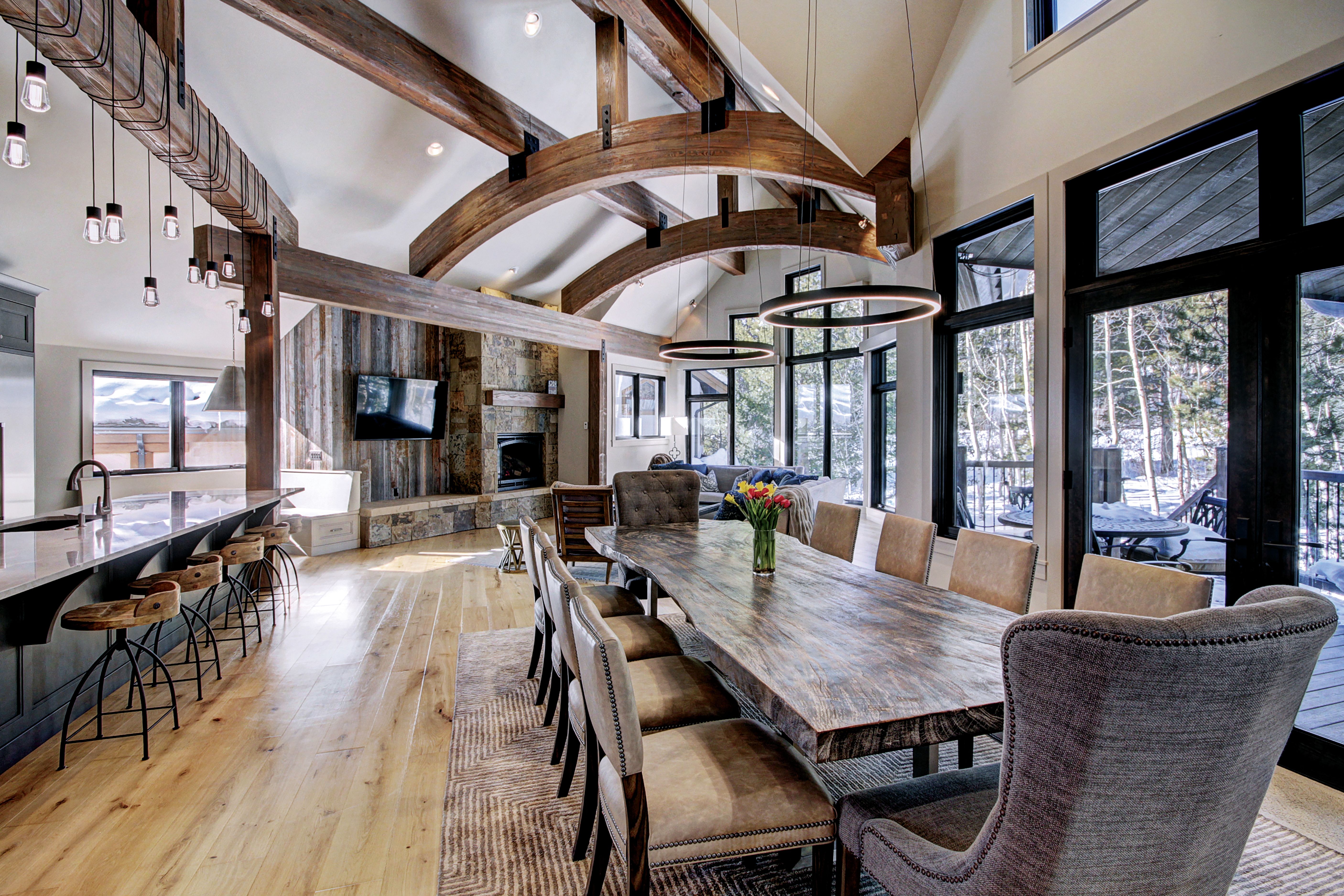
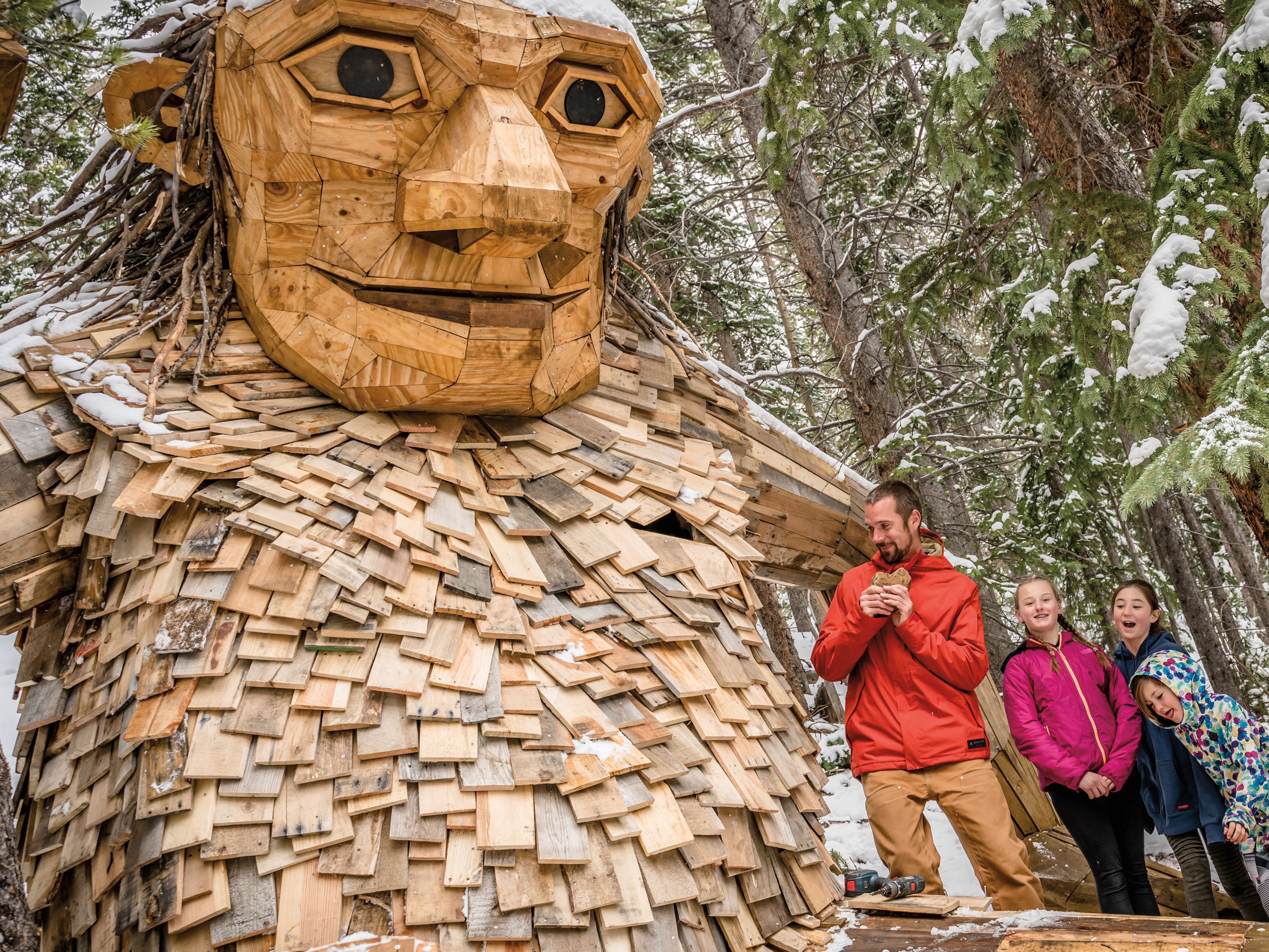
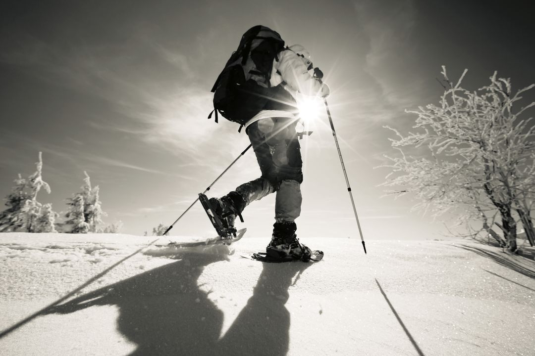
Winter Adventure
Snowshoe Into the Wild
Head for the hills, whether your dream trip is slow and steady, or fast and furious.
Best for History
French Gulch Loop
Distance: 2 miles
Elevation gain: 400 feet
World-class downhill skiing may define Breckenridge today. But yesterday’s Breck revolved around the mines that populated French Gulch in the late 1850s and beyond. Many of these historic holes in the ground are still around in some form, and they’re accessible in the winter via a network of popular, well-maintained trails leading to ten historic sites within a two-mile area.
The Breckenridge Heritage Alliance (breckheritage.com) offers guided snowshoe tours, but thanks to interpretive signage that explains how each structure or location contributed to the area’s history, it’s also feasible to explore—and learn about—these special places all on your own. Among the highlights, you can visit the well-preserved Reiling Dredgeboat where it sank in 1922; the Minnie Mine and Traylor Shaft overlook, where you’ll observe large piles of river rock in the valley below; and the X10U8 Ore Chute, a five-story-tall mill where miners separated valuable metals to be transported to the smelter.
Get there: Take Wellington Road east to French Gulch Road, follow that until it turns to dirt, and look for the B&B trailhead on your right.
More to explore: Iowa Hill mine site via Airport Road in Breckenridge; the ghost town of Dyersville via Wagon Road/Indiana Creek Road, off of Highway 9 just south of Breck.
Best for Beauty
Ptarmigan Trail
Distance: 10.8 miles
Elevation gain: 3,400 feet
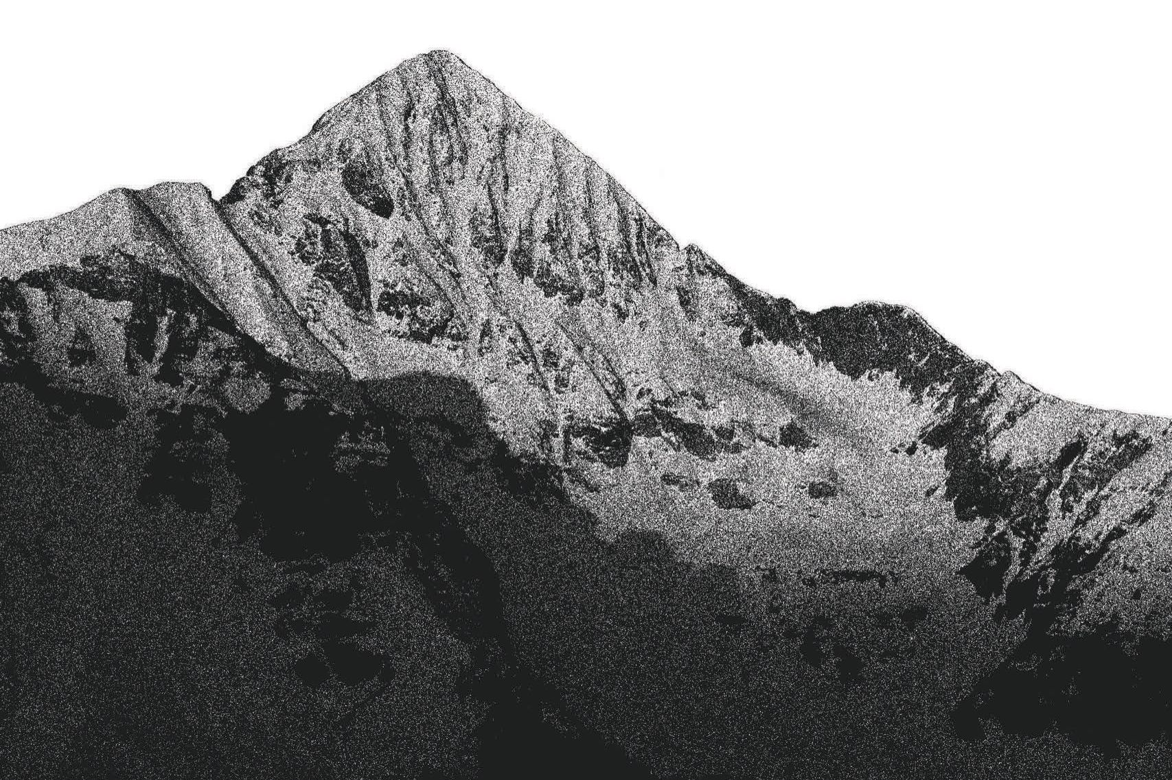
Topping out high above Silverthorne, the Ptarmigan Trail offers a stunning panorama of the craggy Gore Range to the west and the Tenmile Range/Dillon Reservoir to the south, as well as prominent 13,000-foot Guyot and Baldy peaks just east of Breckenridge. If you hike the whole trail, you’ll follow an undulating route that begins in a quaint residential neighborhood and meanders through a forest of aspen and pine all the way up to Ptarmigan Peak’s summit at 12,498 feet. Of course, you can also opt for an abbreviated version and finish at an overlook (and devour your lunch and that view comfortably on a wooden bench) 2.1 miles in, then return the way you came.
Get there: If you’re heading north on Highway 9 in Silverthorne, take a right on Tanglewood Lane next to Wendy’s, then another right at the stop sign. You’ll end up on Ptarmigan Trail Road (No. 2021), which will lead to a trailhead parking area on your right. The trail starts on the north side of the road.
More to explore: Gold Hill Trail (offering stunning vistas of the Upper Blue River Valley), via Highway 9 halfway between Breck and Frisco; Bemrose Ski Circus (a network of winter trails skirting the Continental Divide) via Hoosier Pass.
Best for Overnight
Section House
Distance: 10.4 miles
Elevation gain: 1,080 feet
Long before roads were built to transport Summit County’s pioneers over the central Rockies, travelers relied on steam trains (among other, less appealing means, such as prospector mule). One of the most popular railroads ran from Como, in Park County, over 11,481-foot Boreas Pass to Breckenridge before continuing on to Leadville. The Section House, built atop Boreas Pass in 1882, quartered the men who maintained that narrow-gauge railway, in addition to their families. Now, as one of four backcountry cabins operated by the Summit Huts Association (reservations required; summithuts.org), the refurbished bunkhouse shelters recreationalists seeking a respite from civilization.
A 5.2-mile snowshoe is required to reach the Section House, but the route via Boreas Pass Road is much milder than other trails around Summit, gaining a little more than 1,000 vertical feet on a gradual grade. The views en route are breathtaking, and once you reach the cabin on top of the pass, nothing in the world feels better than warming your toes next to the wood stove and sipping a cup of hot cocoa or an ice-cold beer.
Get there: Take Boreas Pass Road east from Highway 9 in Breckenridge. Park at the Baker’s Tank Trailhead and start hiking past the winter gate.
More to explore: Francie’s Cabin (a modern chalet on the flanks of Peak 10) via the Spruce Creek Trailhead; Janet’s Cabin (a 3,000-square-foot log cabin with a wood-heated sauna) via Copper Mountain; reserve both at summithuts.org.
Best for: Moonlight
Bald Mountain
Distance: 4 miles
Elevation gain: 800 feet
When the rising moon illuminates the Upper Blue River Valley, the place to be is the sparsely timbered snowfield on the northwestern flank of Bald Mountain, a.k.a. “Baldy,” a 13,684-foot, camel’s-hump peak that towers above Breckenridge. The snowfield isn’t a typical destination, per se; there’s no shrine or overlook that can be touted on maps or in guidebooks. Rather, it’s just a wide-open place to ponder your place in the world and the heavens above, a task made easier when the moon seems so close you can almost reach out and hang from it.
Not surprisingly given our area’s history, this snowfield is also a former mining hub. The Carbonate gold mine, which opened in 1896 and
operated until the late 1950s, is located above timberline on Baldy’s summit ridge, and a handful of mining remnants, tailings, and cabins remain scattered about the slope. In fact, the primary landmark you’ll pass while ascending Baldy Road to reach the snowfield, the decommissioned Iowa Mill at 11,234 feet, used to receive precious-metal-laced ore from the mine above.
Get there: From Boreas Pass Road, turn left onto Baldy Road; park at the bus stop, and start hiking east up the snow-covered dirt road.
More to explore: Keystone Nordic Center’s full-moon snowshoe tours (a monthly buffet dinner followed by a guided hike; keystoneresort.com/activities/nordic-center); Horseshoe Gulch trails (transiting open meadows to a gently sloped saddle ridge) from the Dredge trailhead on Tiger Road.