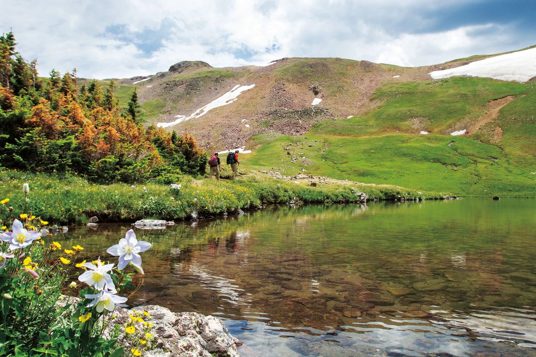
Adventure
Pass Perfect
Embrace the essence of Summit's endless summer on these high-alpine escapes.
Topographically speaking, a mountain pass represents little more than a low point between two high points. Some are glorified game trails. Others have footpaths or dirt roads running over them—or even an interstate. Yet as the word suggests, passes serve as portals, the gatekeepers of an undiscovered somewhere that’s as alluring as it is mysterious, until you reach the crest and peer over the other side.
Summit’s thirteen mountain passes are, as a whole, less famous than its fourteeners, but the experience of reaching the pinnacle of one can be just as satisfying as bagging a peak. You feel like you’ve gotten somewhere, that you’re going somewhere. Because if you’re on wheels, chances are you’re about to start a ripping descent with a mind-altering view.
More than a means to get from valley to valley and county to county, passes are where locals play. Not every pass included herein is well trodden, like Vail and Loveland, or difficult to get to, like Red Buffalo and Wheeler. But they are all world-class recreation zones surrounded by 13,000- and 14,000-foot peaks,
a worthy domain for any adventure. Consider this your ticket—your season pass—to the places where high-country freedom awaits.
Hoosier Pass
11,542 feet*
Best for: hiking, car camping
One of the high points on our list, where the mighty Continental Divide sags just enough to allow for vehicular passage, Hoosier Pass sits on the border of Summit and Park Counties, marks the pinnacle of Highway 9, and affords access to a broad range of high-altitude adventures some 11 miles south of downtown Breck.
From the pass parking lot, it feels like you could fling a Frisbee and hit either 14,265-foot Quandary Peak to your north or 14,295-foot Mount Lincoln to your south. But you’re better off stowing the disc, donning hiking boots, and setting out west on the dirt road toward North Star Mountain. Because you start at such a high elevation (more than 250 feet higher than the summit of Oregon’s Mount Hood), the views on every step of your journey will be mesmerizing—yet the hiking is relatively easy. Continue up the road, winding past mine tailings, to North Star’s long, undulating summit ridge, which proceeds an additional mile west toward the true top of the peak.
Given the complex ridge terrain, chances are you’ll want to quit before you reach the summit, but you will still have eclipsed 13,000 feet on a route forgiving enough that you can take the kids.
Also try: Mountain biking the dirt-road loop around the treed knob just west of the parking lot, car camping in the trees, or setting off east for the less-frequented but still impressive Mount Silverheels (13,829 feet). Hoosier also makes a great turnaround point on a road-bike ride from downtown Breckenridge.
Boreas Pass
11,481 feet*
Best for: sightseeing by car, mountain biking
If there is one pass on this list that makes for a perfect Sunday afternoon drive, Boreas is it. To reach the top, simply follow the old narrow-gauge railroad route 6.6 miles east of downtown Breckenridge, first on a paved road then on a gravel-and-dirt road that can easily be driven with two-wheel-drive vehicles.
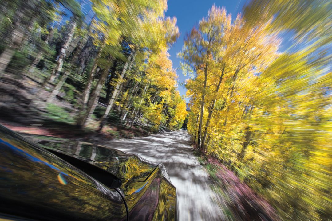
From 1882 to 1937, the road served as the railway from Como to Breck; now it’s a sightseer’s paradise. Take time to park at the top of the pass, visit the Section House backcountry ski hut, and hike west on the quick spur trail to the top of the knoll for a panoramic view of Red, Bald, and Boreas Mountains, as well as the craggy southern portion of the Tenmile Range. The aspen tunnels on the Breckenridge side of the pass, near the Baker’s Tank trailhead, are particularly gorgeous in mid-September.
Also try: Local mountain bikers like to incorporate Boreas Pass into their larger loops, and given the road’s 3 percent grade and the number of offshoots via Indiana Creek and Baker’s Tank, it’s a pleasant addition to any ride. In fact, it’s part of the annual Tour Divide race, which sends bikers 2,475 miles from Canada to Mexico.
Eccles Pass
11,900 feet
Best for: trail running, backpacking
The most majestic mountains are often the most difficult to access, and the Gore Range is no exception. Eccles Pass, which serves as a pseudo gateway to the interior Gore just northwest of Frisco, delivers breathtaking value for your summer sweat.
Flanked on both sides by vast, open meadows that are blanketed by brilliant wildflowers come July, Eccles inspires a feeling of escape, as though you’ve left civilization somewhere far behind. It’s a steady climb from the Meadow Creek trailhead (from I-70, take Frisco Exit 203 and follow the dirt road on the west side of the roundabout to the trailhead; from there, it’s 4.7 miles and 2,800 vertical feet one way) into the Eagles Nest Wilderness (which means no bikes or motors allowed), and worth every step.
Also try: Trail run to the pass as part of a spectacular, thirteen-mile loop around Buffalo Mountain, or backpack in and camp in the meadows on either side of Eccles. The North Tenmile Creek trailhead at the west end of Frisco Main Street serves as an alternate starting point, but will add distance to your day.
French Pass
12,046 feet*
Best for: hiking, mountain biking
Wedged between two monstrous peaks just east of Breckenridge—13,684-foot Baldy and 13,370-foot Guyot—French Pass is the day hiker’s dream trek. Few trails provide a sense of alpine grandeur comparable to the route that starts at the end of French Gulch Road and continues as a doubletrack then singletrack up to the windswept saddle.
It’s an attainable objective for almost anyone (especially vacationers from sea level), a forgiving grade that only steepens for a few hundred feet near the top. You climb along bubbly French Creek much of the way, rarely seeing another soul once you leave the maintained road. Watch for moose and elk along the way.
Also try: The locally famous “Circumnavigation of Mount Guyot” route, popular with fat-tire bikers; this pass serves as a waypoint.
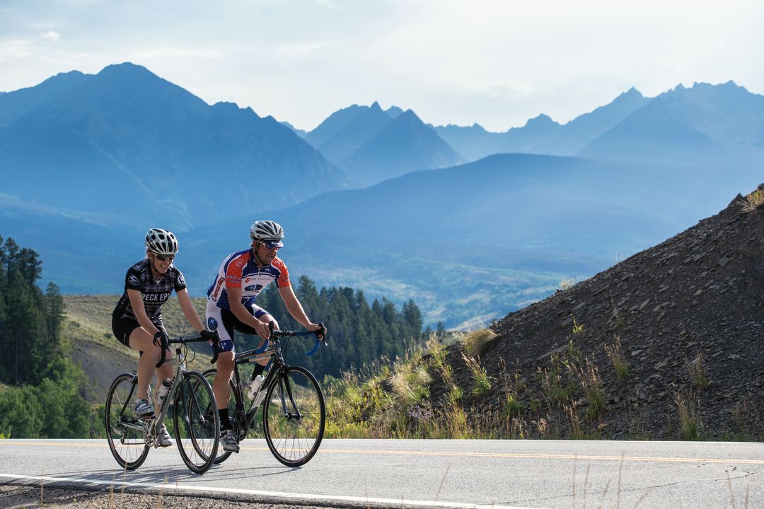
Loveland Pass
11,990 feet*
Best for: road biking, day hiking
The top of Loveland Pass serves as a point of demarcation: geographically, it’s here that Summit County ends and Clear Creek County begins, where the Atlantic watershed becomes the Pacific, and locally where contenders ditch the pretenders. It is no coincidence that many of the country’s top road cyclists come to Summit County to train each spring and summer, and it’s no accident that when they do, they teach their legs how to suffer on Loveland Pass.
Starting at Keystone, the two-lane Highway 6 snakes up to Arapahoe Basin and continues on to a series of switchbacks that lead to the pass, 2,600 vertical feet and 8.7 hard-earned miles from the valley floor. You’ll find longer and crueler climbs in the Alps, but Loveland’s elevation keeps even European riders gasping until they reach the top.
Also try: The variety of unmarked but well-trodden trails that begin at the parking area, which make a nice dessert for multisport-inclined road cyclists or simply the family that wants to take a quick hike after road-tripping to 11,990 feet. In a big snow year, you can also find easily accessed summer skiing atop the pass.
Searle Pass
12,027 feet
Best for: mountain biking, hut tripping
Perhaps the most overlooked of Summit’s named alpine portals, Searle is nonetheless a stunning destination for mountain bikers, hikers, and runners. You have to earn your visit to this saddle between Jacque Ridge and Elk Mountain, just southwest of Copper Mountain Resort, but the views into Mayflower Gulch and the Mosquito Range make it worthwhile.
If you start from the Corn parking lot on the east side of Highway 91, you will take the Colorado Trail 9.4 miles each way, which is why most travelers do it on a mountain bike and allot a half-day for the round trip. The ascent meanders through Copper, then up the Guller Creek drainage on classic singletrack into an open basin at tree line.
Also try: Janet’s Cabin, which sleeps twenty guests just below the pass, provides a cozy shelter if you decide to split up your trip into two days. Of course, you can also continue over Searle Pass and on to Kokomo and Tennessee Passes in Lake County—or even follow the Colorado Trail all the way to Durango—but you’ll have to plan ahead for an adventure like that.
Ute Pass
9,568 feet
Best for: road biking, sightseeing by car
Although Summit County isn’t known for its road biking, largely because our asphalt shoulders aren’t as wide as in other regions, Highway 9 north of Silverthorne is an exception. There’s plenty of room to feel comfortable pedaling on the shoulder, and it accesses a crown jewel: Ute Pass.
Ute offers a number of pluses. The pass itself is substantially lower than many other roadie destinations in Summit, traffic is light once you get off the highway, and the view of the Gore Range is as striking as any in Colorado. Depending on where you start in Silverthorne (we recommend the Silverthorne Elementary parking lot on the north end of town), this ride works out to be about 35 miles with 2,050 feet of climbing. It won’t destroy you, in other words. Simply head north on Highway 9 and watch for Ute Pass Road on your right, about 13 miles into the ride.
Also try: Cruising up the pass via motorcycle or car, another way to experience Ute’s bliss. The winding drive is mellow, often empty, and particularly spectacular at twilight, when the summer sun disappears under the Gore’s jagged skyline.
Vail Pass
10,662 feet
Best for: road biking, hiking
Truckers fear Vail Pass in winter due to its slick descents and tight curves. But come summer, thanks to the smooth and easily maneuvered recpath removed from the interstate, no pass in Summit County is as inviting for road cyclists than the one that marks our western edge.
On warm days in July and August, hardy roadies like to ride from Summit over to Vail Village, eat lunch, then ride back. If you’d rather skip the climbs, sign up for a shuttle ride—you take a van to the pass, then breeze back to Frisco through Tenmile Canyon on a fourteen-mile descent. Pioneer Sports in Frisco (970-668-3668; pioneersportscolorado.com) rents cruiser bikes with a shuttle ride included for $48.
Also try: The Shrine Mountain Inn, part of the 10th Mountain Division hut system (huts.org), is a perfect introduction to backcountry cabin living. Book your overnight stay online, then make the 2.7-mile trek from the Vail Pass parking lot for a respite from civilization.
Red Buffalo Pass
11,700 feet
Best for: trail running, backpacking
In the late 1960s, Colorado highway planners considered what now seems unthinkable: routing Interstate 70 over Red Buffalo Pass in the heart of the untrammeled Gore Range between Silverthorne and Vail. Thankfully, they elected to steer it through Tenmile Canyon and over Vail Pass instead.
That decision preserved the most pristine means of traveling from Summit to Eagle County. Start in Frisco at the Meadow Creek trailhead, proceed over Eccles Pass, then take a left on the Gore Creek Trail and continue over Red Buffalo down to East Vail, where you can either stash a car or arrange a pickup from a friend.
Also try: If you feel like making it an overnight occasion, pitch your tent at stunning Deluge Lake, a 1.3-mile detour from the main route, which totals 13.5 miles from Frisco to East Vail. Bring plenty of food and water—and a camera.
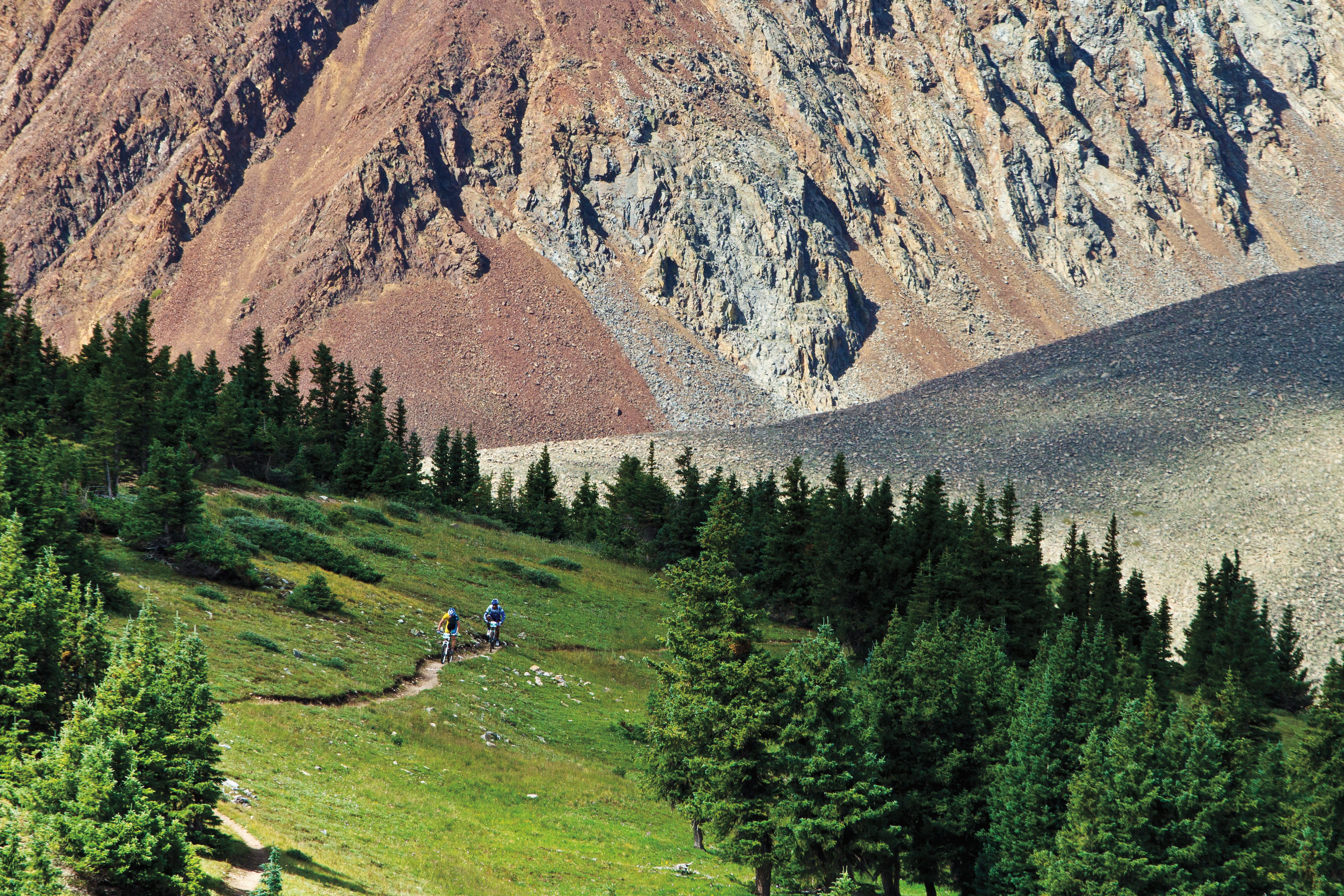
Georgia Pass

11,585 feet*
Best for: four-wheeling, mountain biking
It may be remote (11 miles southwest, and a 50-minute drive from Breck), but Georgia Pass has long served as something of a mecca for off-roaders. Whether you ride in Jeeps, on ATVs, or on dirt bikes, the pass’s attractive flat saddle and proximity to boundless terrain in both the Swan River and Michigan Creek drainages keep it buzzing with motorized adventurers throughout the summer and fall months.
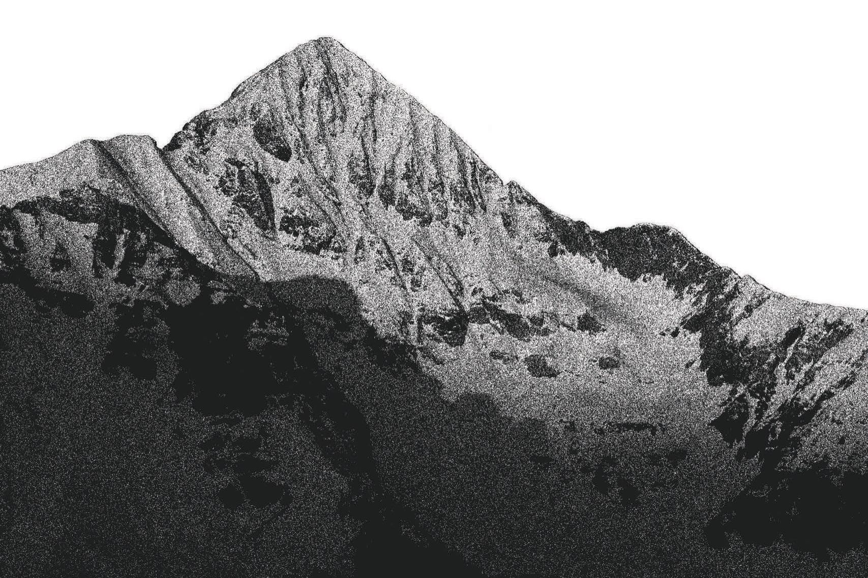
If you’re coming from Summit County, point your whip up the South Fork of the Swan and get ready for a challenging ride to the top. Mountain bikers love Georgia Pass for the ultra-flowy, world-class Colorado Trail (pictured above) descent into the Swan River basin.
Also try: Ride east from Kenosha Pass to Georgia (a colorful fall adventure), or come up from Michigan Creek during a loop around Mount Guyot.
*Denotes passes that transit the Continental Divide

Feature Story
Two Breck-Based Masters of Human Endurance
Panorama
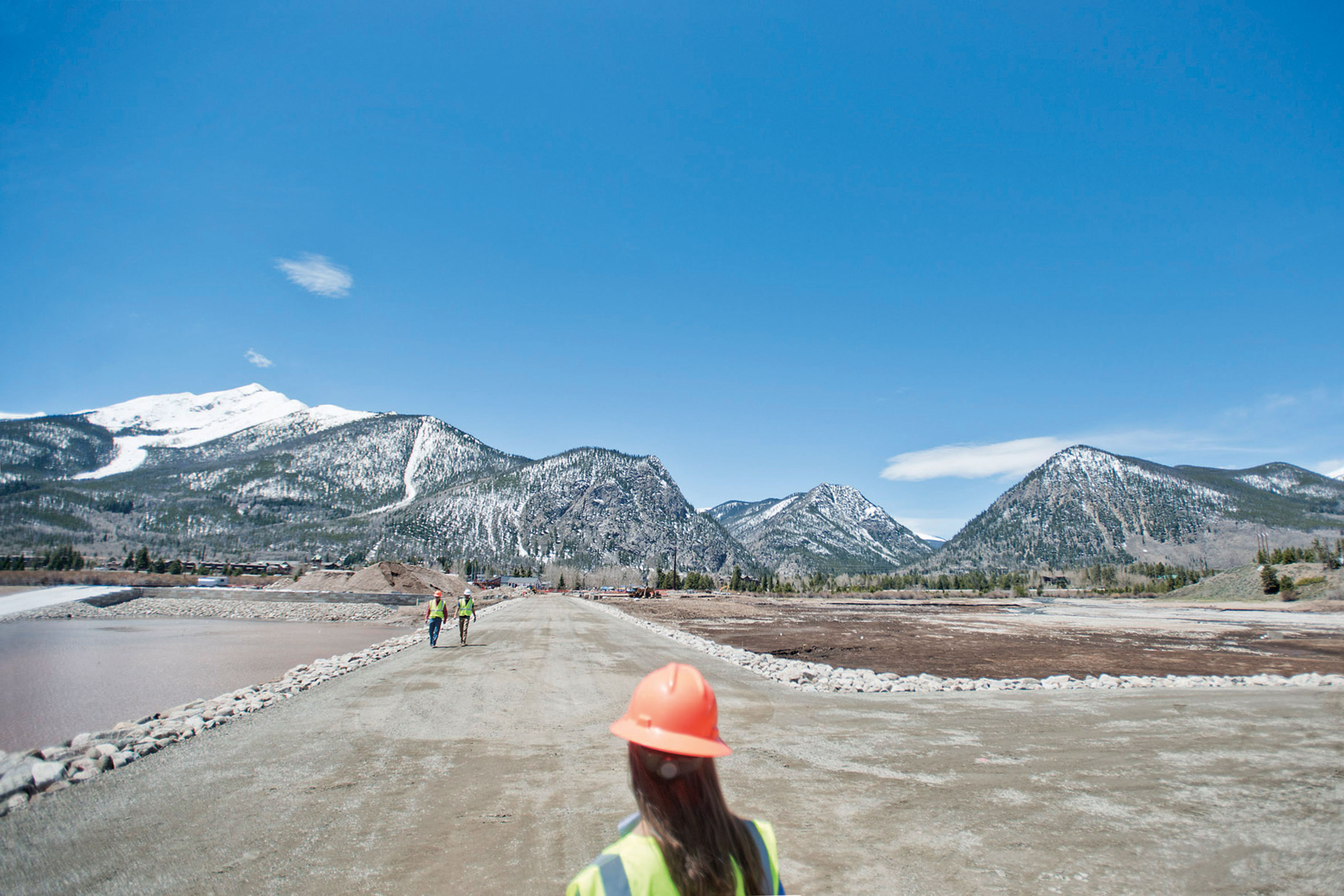
Frisco's Lakefront Makeover

Article
Racing The Wind

Person of Interest
Dr. Does a Lot

Person of Interest
A Changing of the Guard at A-Café

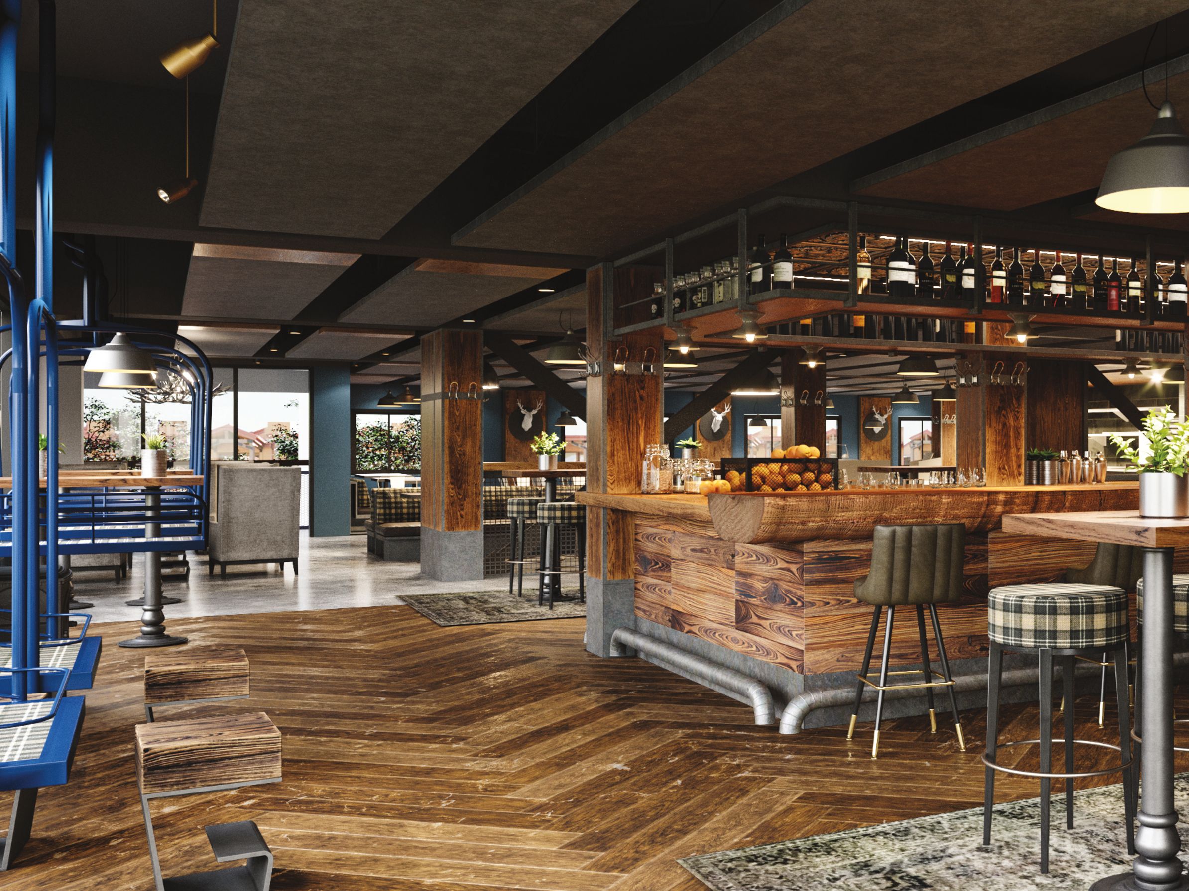
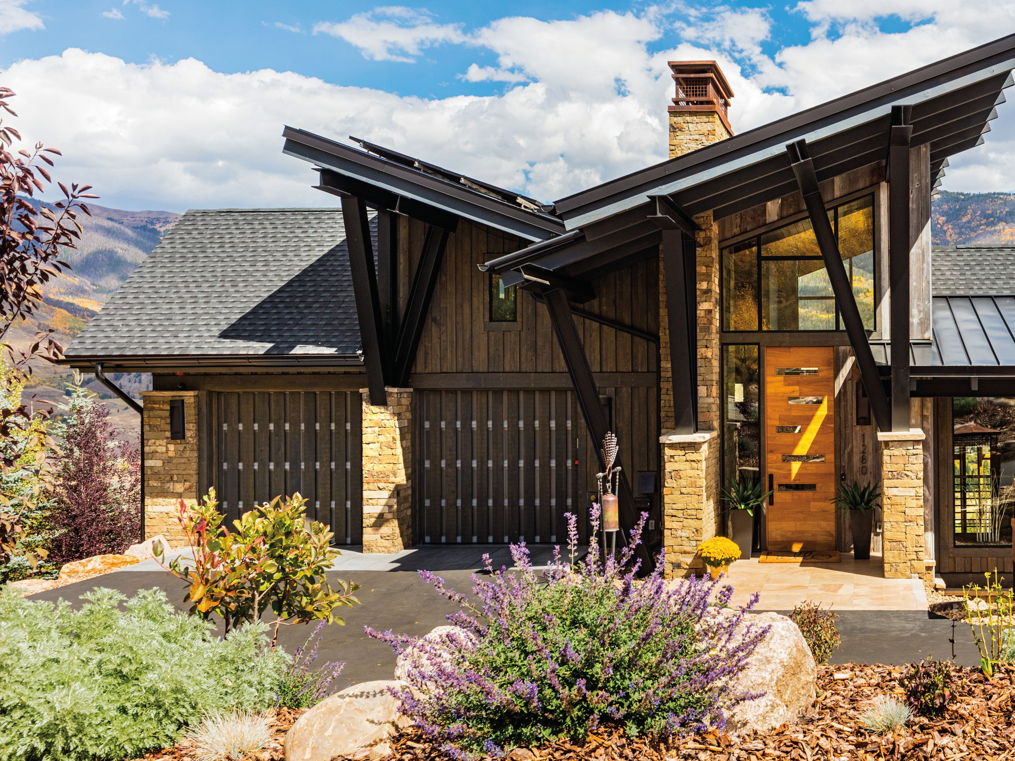
Home Design
A Corporate Office That Feels Like Home

Article
Perfect View


Dine: Eating and Drinking in Summit County
Pure Ambition


Eat & Drink
Summit County's Best Bars

Events
Summer/Fall 2019 Calendar

Arts & Events In Summit County
Spray Can-Do


Gear Guide
She He Ski

Health & Recreation
Thriving at Altitude
Health & Recreation
Life at Altitude
Health & Recreation
Thriving at Altitude

Health & Recreation
Clearing the Air

Cover Story
13,000 ft Summit County Hikes

Slideshow
Gear Up + Get Out

Desirables
Gear Hound

Covet
Back Country Gear Guide

Must Have
Gear Guide

Person of Interest
Cigar Story

Cycling